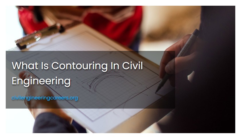
What Is Contouring In Civil Engineering
Contouring in surveying involves determining the elevation of points on the ground and fixing points of equal elevation in a contour map. A contour is an imaginary line connecting points of equal elevation.
Contouring in surveying involves determining the elevation of points on the ground and fixing them on a contour map. Contours are imaginary lines that connect areas of the same elevation.
What is contouring in surveying?
Contouring in surveying refers to the process of establishing the elevation of points on the ground and plotting them on a map of the same horizontal position. This is achieved through vertical control leveling and horizontal control surveying methods such as chain survey, compass survey, or plane table survey. Contour maps provide valuable information for various purposes such as construction, mining, urban planning, and environmental management.
What are contour lines?
Contour lines are imaginary lines that connect places of equal elevation on a contour map, drawn with the difference in elevation between them in mind. They are used in surveying and mapping.
What is direct method of contouring?
The direct method of contouring involves determining the vertical and horizontal controls of points on a selected contour line using a leveling instrument and nearby benchmark fly levels.
What is grade contour?
A grade contour is a line on a contour map that connects points of equal gradient along a slope. It helps in locating points on a contour gradient, and is determined by calculating the difference in elevation between two points of grade contours divided by the distance between them, which is a constant gradient.
Grade contours refer to lines with the same slope gradient. They are characterized by a constant gradient, which can be calculated by dividing the elevation difference of two points on the line by the distance between them.
What is a contour line?
Contour lines are markers on a map that indicate points of equal elevation. When traced with a finger, each point on a contour line represents the same height above sea level, and hiking along a contour line in real life would result in staying at the same elevation.
How do you read the elevation of a contour line?
To read the elevation of a contour line, you need to know the contour interval. The contour interval provides the change in elevation between two contour lines. The elevation of a contour line can be found by using the contour interval and counting the number of contour lines from a known elevation point, such as a benchmark. The contour lines are evenly spaced and indicate a constant elevation change.
What are index contours?
Index contours are bold, thicker contour lines that appear at every fifth contour line and indicate an increase or decrease in elevation based on their associated numbers.
Contouring is a significant component of surveying that involves establishing the elevation of points on the ground and then locating those points in the contour map with the same horizontal positions.
What is a contour map?
A contour map shows contour lines connecting points with equal elevation on a plan of an area. These lines are drawn with a constant difference in elevation between two consecutive lines. The map is created after determining reduced levels of various points in the area.
What is the difference between contours of different elevations?
Contours of different elevations never intersect except in the case of overhanging cliffs, and they never merge into a single contour except for vertical cliffs. The horizontal distance between contour lines indicates the amount and direction of the slope.
What are the characteristics of contour lines?
Contour lines are evenly spaced and represent uniform changes in elevation. They never cross each other but may merge or split. Approximately concentric closed contours suggest hills, U-shaped contours indicate ridges, and V-shaped contours indicate valleys.
The direct method of contouring involves determining points of equal elevation directly in the field, followed by determining horizontal control with the aid of a plane table, theodolite, or chaining.
What are the two methods of contouring?
There are two methods of contouring: the direct method, where points of equal elevation are determined on the field and horizontal control is found using instruments; and the indirect method, which involves using pre-existing contour maps or aerial photographs.
What is the cross section method of indirect contouring?
The cross-section method is a technique of indirect contouring where sections are spaced out from traverse lines, and observations are made on the various points of each section using a theodolite.
How are contour lines drawn?
Contour lines in land surveying are drawn by maintaining a consistent difference in elevation between two consecutive lines. They must close, but not necessarily within the plan's limits. The level of the lines is marked on them. Contour maps indicate the shape and slope of the land and are used by geologists, civil engineers, and other professionals for many practical purposes.
What is tacheometric method of indirect contouring?
The tacheometric method of indirect contouring involves setting out radial lines at varying angles to a reference line, taking readings on a leveling staff at different points along each radial line, and using these readings to determine contours.
How do you calculate contour lines?
To calculate contour lines, you need to divide the difference in elevation between the index lines by the number of contour lines from one index line to the next. This will give you the interval, which is the distance between each contour line. Divide the elevation difference by the contour line spacing to determine the number of contour lines needed to represent the terrain accurately. This process is essential in creating accurate topographic maps and interpreting the features of the land.
What is true about contour lines?
Contour lines indicate points of equal elevation on a map, and traversing along a contour line means remaining at the same elevation throughout the journey.
What are the basic rules for contour lines?
The basic rules for contour lines are: every point on a contour line has the same elevation, contour lines separate uphill from downhill, they do not touch or cross each other except at a cliff, and every fifth contour line is darker in color and marked with an index contour.
Contouring in surveying involves identifying the elevation of various locations on the ground and mapping them onto a contour map. This results in an outline of a land mass.
What are the different types of contour lines in surveying?
Contour lines are important elements in surveying that provide information about the elevation and terrain of a specific area. The different types of contour lines in surveying include isohypse, spot elevation, and supplementary contour lines. Isohypse contours connect locations of equal height above sea level and are useful in identifying ridges and valleys, while spot elevations denote the precise elevation at a specific location. Supplementary contour lines fill gaps between contour lines and help create a more accurate representation of the terrain. Understanding the various types of contour lines is important when conducting surveys, engineering projects, and map-making.
What are the characteristics of contour?
The characteristics of contour lines include showing the shape, size, and elevation of the ground, following the same level elevation, never intersecting each other, and providing information on the topography of the land.
What is a contour line in geography?
In geography, a contour line is the line formed by the intersection of a level surface with the Earth's surface, where every point on the line has the same altitude. It is a fundamental tool used in mapping and surveying to represent the three-dimensional shape of the ground on a two-dimensional map.


